Mt. Balagbag and Maranat Range
 | |||
| August 1 - 2, 2015 - Bikers at the summit of Mt. Balagbag |
In the end, I learned the meaning of the word "traverse" in a hard way. Well, an unforgettable one.
About the mountains:
 |
| Source: Pinoy Mountaineer |

Maranat Range, also known as Mt. Maranat, is part of the Sierra Madre Mountain Range boasting flamboyant vegetation, rolling terrain, pools, stream, and waterfalls.
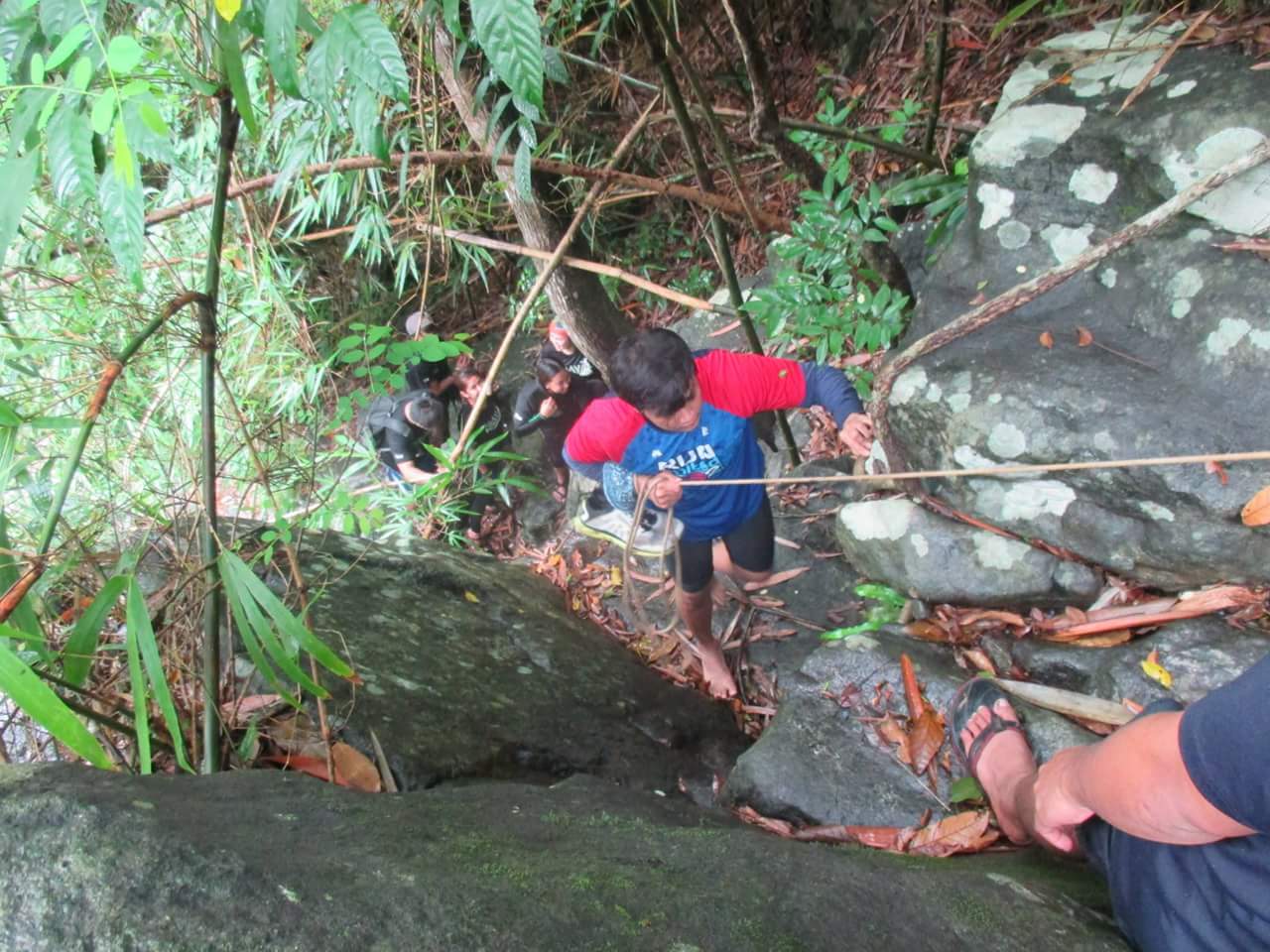
Unknown to many, “Maranat” is actually the name of the falls, which belongs to Mt. Oriod. It is so majestic and challenging - with big boulders one can climb by hand or with aid of ropes, trees and fallen logs framing up the views, and cold water that is so refreshing upon every dip. It truly offers such a wonderful experience for outdoor enthusiast.
Highlights
- Meeting people who loves the outdoor too.
- The wide, open trail going to Mt. Balagbag's "helipad" summit.
- Meeting bikers along the trail.
- Balagbag's kitty cat, most commonly known as Garfield. Really playful and fluffy. I love cats.
- The Sirko-Balentong trail (Balagbag loop) traversing to Maranat Range and Waterfalls - not a beginner-friendly trail.
- The homey campsite of Tatay Nestor at the Maranat range.
- Chuck "the camera-shy dog" and Jerry "the sleepy cat", pets of Tatay Nestor.
- The trail runners who were really close to Tatay Nestor. Well, it's the first time that I actually encounter the term "trail runners". I am really amazed by how strong these people are! I mean, hiking/trekking on a mountain is definitely hard and they're running on the trail. Whoa!
- The beautiful, challenging, and magnificent Maranat Falls. For exploration, I highly recommend starting from the foot of the falls all the way up. It's definitely adventure-filled!
Photos
 |
| Hikayat Mountaineers |
 |
| Where bikers and mountaineers meet - "Helipad" summit |
 |
| Garfield. Let me scream like Agnes, saying "He's so fluffy, I'm gonna die!" |
|
| Mt. Balagbag is popular to bikers as well |
 |
| First leg of the Sirko-Balentong trail |
 |
| Nothing beats waking up in a hammock. |
 |
| Meet Chuck. He's friendly but a bit camera shy. |
 |
| This is Jerry. He loves sitting on a Hooman's lap and sleep. |
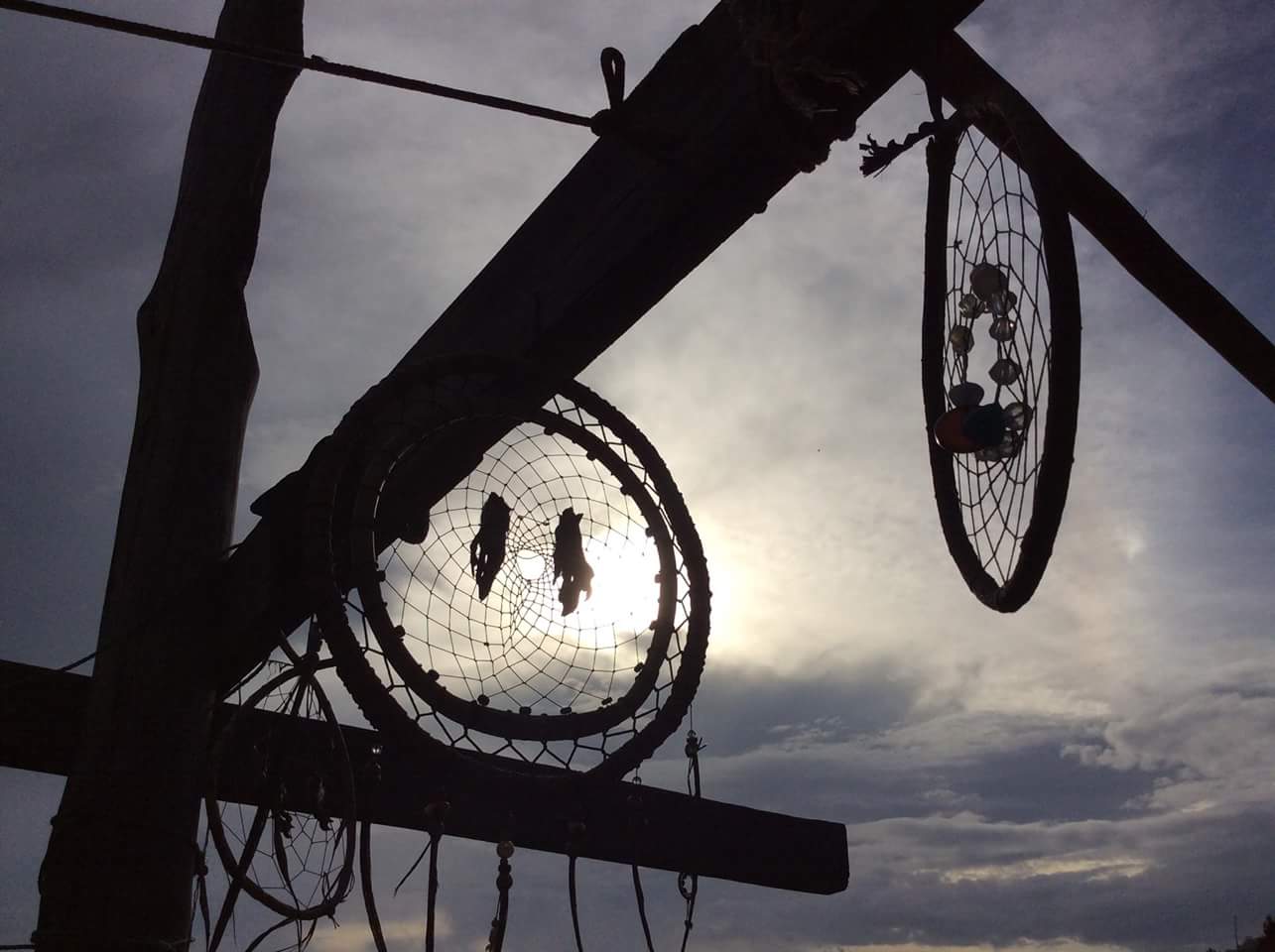 |
| If you want to know where your heart is, look where your mind goes when it wanders. |
 |
| Mt. Balagbag as seen from Maranat campsite. |
Transportation:
- From Coastal Mall/Gil Puyat (Buendia LRT)/Cubao (EDSA):
- Ride a bus with route going to Tungko (just look for buses with signage SM Fairview Tungko)
- From Tungko, go to the jeepney terminal and look for Licao-Licao bound jeepney.
- From Licao-Licao, it is optional to ride a tricycle going to the jumpof point which is the Brgy. Hall of Sitio Balagbag.
Registration:
My Take-aways
☑ Climb smart.
☑ Hiking in larger groups has its perks. You'll never get bored with all the fun stuff you share with each other.
☑ Climbing mountain is also a test of patience. Be sure to buy that Pasencia in your local bus terminal.
- Barangay Hall - P10.00
- Junction - P20.00
- Guide - not required; contact Kagawad Toto (+639302355562) or Pitoy (+639193265454) for the latest guide fees.
- Maranat Range/Falls (permits are required as of 2016)
- Resorts (there are newly established resorts at the local community, haven't tried one yet)
My Take-aways
☑ Climb smart.
☑ Hiking in larger groups has its perks. You'll never get bored with all the fun stuff you share with each other.
☑ Climbing mountain is also a test of patience. Be sure to buy that Pasencia in your local bus terminal.


0 comments